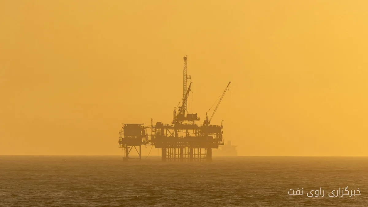
Viridien has launched the first phase of its 3D reimaging project in Guyana. This project includes over 10,000 square kilometers of existing 3D seismic data from the Kaieteur, Georgetown, Kanuku, and Corentyne surveys. Initial results from this project are expected to be published in the first quarter of 2027.
Project Details and Objectives
The main objective of this project is to provide a clearer picture of the subsurface layers in the Stabroek Block area as well as the shallow open regions of Guyana. By combining new 3D data, these reimaged surveys will create a continuous regional dataset covering over 14,000 square kilometers. Viridien has stated that this information will assist explorers in identifying new opportunities and evaluating future licensing potential along the coasts of Guyana.
Read more: Increased transportation costs have changed the behavior of Asian crude oil buyers
Access and Commercial Rights
Viridien holds exclusive access and commercial rights to the historical data. This access allows the company to leverage this data to enhance its exploratory and commercial strategies. Given the increasing demand for energy and natural resources, optimal use of seismic data and providing accurate analyses of infrastructure and new opportunities can significantly contribute to the growth of the oil and gas industry in the region.
Considering the high potential available in the Stabroek Block and recent discoveries in the area, Viridien's reimaging project could serve as a key driver for attracting further investments and developing the necessary infrastructure for exploiting oil and gas resources. The results of this project are expected to aid in the formation of new strategies for exploration and development, enhancing accuracy in future planning.
Read more: Mohammad Mahdi Tosalipour evaluated the technical capabilities of the Mapna Group for enhancing pressure in South Pars · Argentina warned Britain about the oil project in the Falkland Islands